
Parcel 29-2N-24-0000-0001-0010
Owners
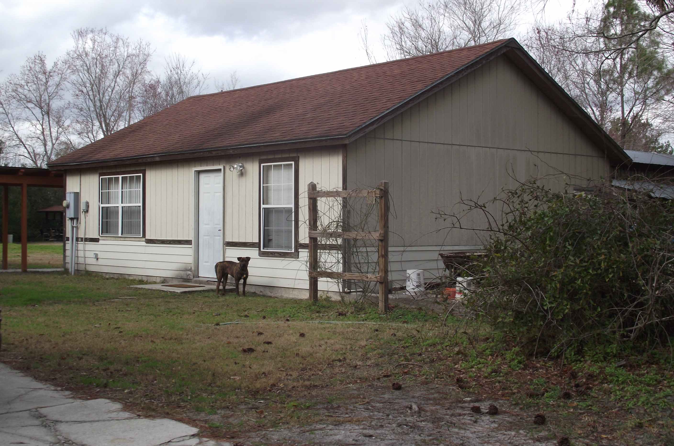
612125 RIVER ROAD
CALLAHAN, FL 32011
Parcel Summary
| Situs Address | 612125 RIVER RD |
|---|---|
| Use Code | 0100: SINGLE FAMILY |
| Tax District | 6: Drainage Dist |
| Acreage | 5.000 |
| Section | 29 |
| Township | 2N |
| Range | 24 |
| Subdivision | |
| Exemptions | HX: Homestead (196.031(1)(a)) (100%) HB: Homestead Banded (196.031(1)(ab) (100%) WX: WIDOW (196.202) (100%) SX: Senior Homestead (196.075) (100%) |
Short Legal
PT E1/4 OF SEC 29-2N-24E INOR 2480/144
Values
| 2025 Certified Values | 2026 Preliminary Values | |
|---|---|---|
| Land Value * | $97,500 | $105,000 |
| (+) Improved Value | $423,346 | $386,580 |
| (=) Market Value | $520,846 | $491,580 |
| (-) Agricultural Classification | $0 | $0 |
| (-) SOH or Non-Hx* Capped Savings ** | $268,457 | $232,376 |
| (=) School Assessed Value | $252,389 | $289,204 |
| County Assessed Value | $252,389 | $259,204 |
| (-) School Exemptions | $30,000 | $60,000 |
| (-) Non-school Exemptions | $105,722 | $106,411 |
| (=) School Taxable Value *** | $222,389 | $229,204 |
| (=) County Taxable Value | $146,667 | $152,793 |
Document/Transfer/Sales History
| Instrument / Official Record | Date | Q/U | V/I | Sale Price | Grantor | Grantee |
|---|---|---|---|---|---|---|
| SW 2480/0144 | 2021-07-16 | U | Improved | $100 | HIGGINBOTHAM DONNA | HIGGINBOTHAM DONNA J LIVING TRUST |
| WD 1016/0632 | 2001-10-29 | Q | Improved | $100 | WRIGHT W P | HIGGINBOTHAM THOMAS & DONNA W |
| CT 0587/0660 | 1990-01-04 | U | Improved | $59,100 | CLERK OF COURT | WRIGHT W P |
| WD 0188/0492 | 1975-01-28 | U | Vacant | $100 | WRIGHTS NASSAU COUNTY FARMS INC | HIGGINBOTHAM THOMAS L & DONNA W (H&W) |
| WD 0115/0292 | 1942-05-15 | U | Vacant | $4,000 | MCARTHUR A G & MABEL (H&W) | MILLIGAN C K |
Buildings
Building # 1
| Heated Sq Ft | Year Built | Value |
|---|---|---|
| 768 | 2001 | $85,846 |
Structural Elements
Building # 2
| Heated Sq Ft | Year Built | Value |
|---|---|---|
| 2139 | 1975 | $292,934 |
Structural Elements
Extra Features
| Code | Description | Length | Width | Units | Unit Price | AYB | % Good Condition | Final Value |
|---|---|---|---|---|---|---|---|---|
| 0200 | BARN WD 0-1000 | 50 | 39 | 1950.00 | $20.00 | 1985 | 20% | $7,800 |
Land Lines
Personal Property
None
TRIM Notices
Property Record Cards
Disclaimer
The Nassau County Property Appraiser's Office makes every effort to produce the most accurate information possible. No warranties, expressed or implied, are provided for the data herein, its use or interpretation. The information contained herein is for ad valorem tax assessment purposes only. The Property Appraiser exercises strict auditing procedures to ensure validity of any transaction received and posted by this office but cannot be responsible for errors or omissions in the information received from external sources. Due to the elapsed time between transactions in the marketplace, and the time that those transactions are received from the public and/or other jurisdictions, some transactions will not be reflected.